About the Project
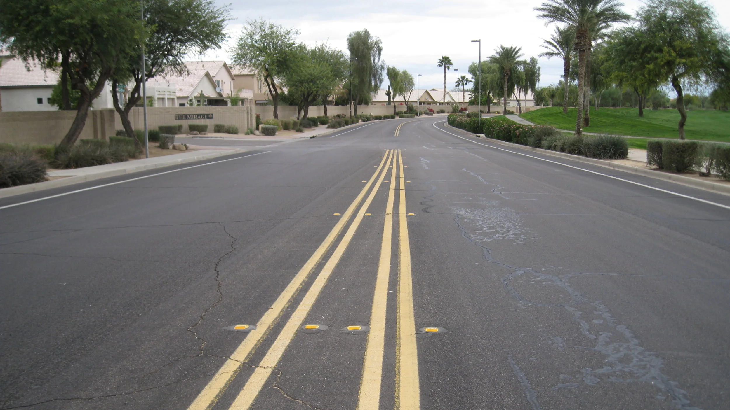
In order to better plan work needs, the City of Bastrop, Texas required updated condition information for its 60-mile street network, summarized as Pavement Condition Index (PCI) values based on ASTM Standard D6433. The City needed this information in a format that could be effectively communicated and displayed as part of the City Geographic Information System (GIS) database.
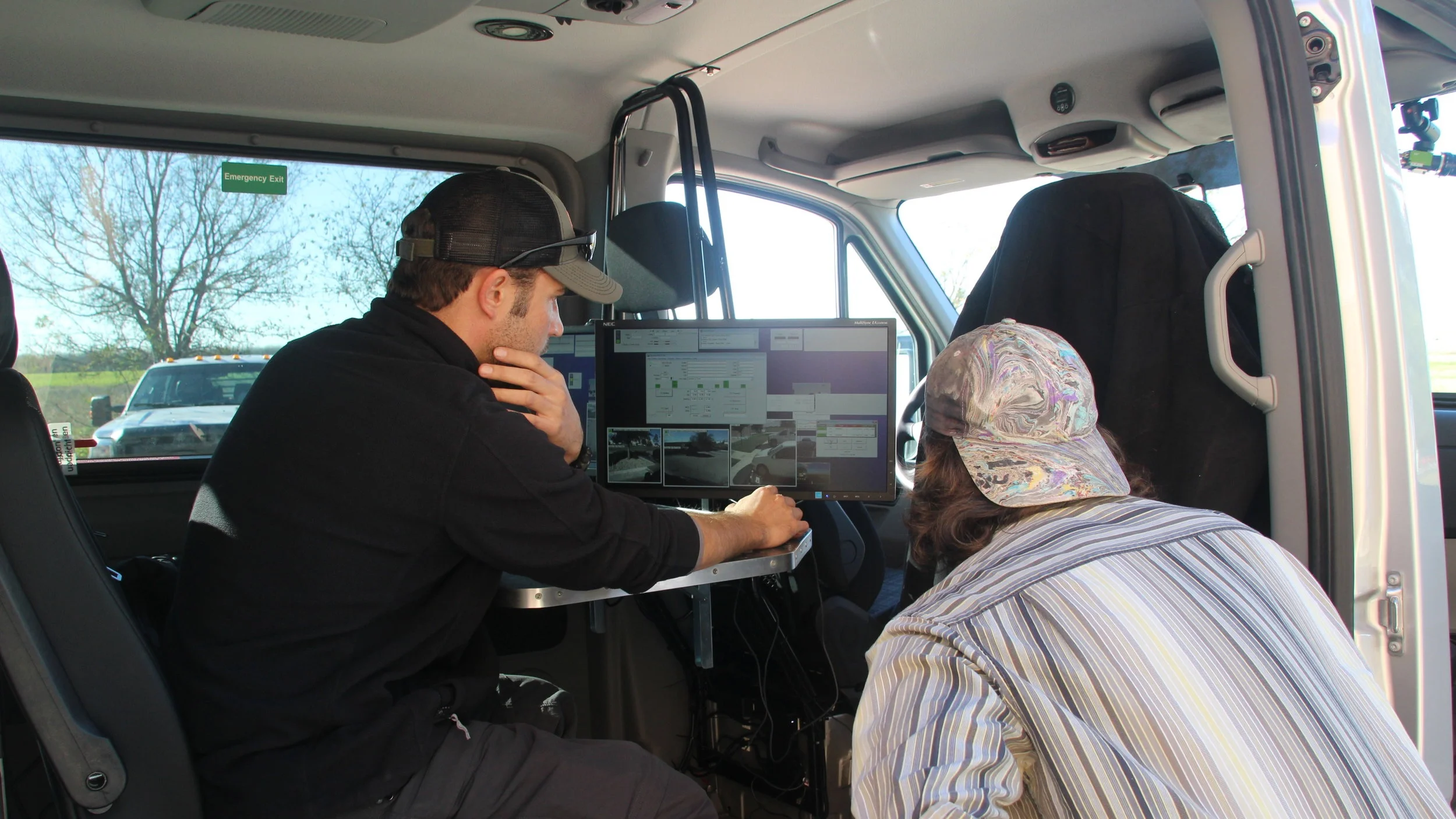
To begin this project, we deployed our state-of-the-art Enhanced Data Gathering Equipment (EDGE) to collect detailed, spatially-referenced pavement condition data for all City-maintained streets (distress data, longitudinal and transverse profile, and multi-view Right-of-Way imagery). Then we used the data collected to determine PCIs for each of the road segments in Bastrop’s network. The PCI values and other information were added to the City’s GIS database.
Given our work, the City is able to display current information for Council review. As a value-added benefit, APTech provided a map-based viewer. This tool allows the City to see all of its collected data as it “drives” the network from their office computers. This project enhanced the City's ability to make decisions about needs, support those decisions with real data, be responsive to inquiries, and communicate specifics to stakeholders effectively and efficiently.